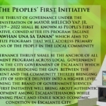
The Citizen’s Charter is one of the primary tools that government agencies use to communicate their service standards on the delivery of government service s to their citizens or clients.
The Citizen’s Charter is one of the primary tools that government agencies use to communicate their service standards on the delivery of government service s to their citizens or clients.
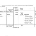
“Setting the Standard for Electronic Business Excellence: Our One-Stop Shop Citizen Charter. Your Digital Needs, Our Priority.”
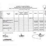
GUIDELINES ON THE RELEASE AND UTILIZATION OF THEBAYANIHAN GRANT TO CITIES AND MUNICIPALITIES
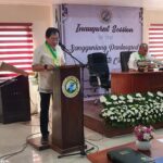
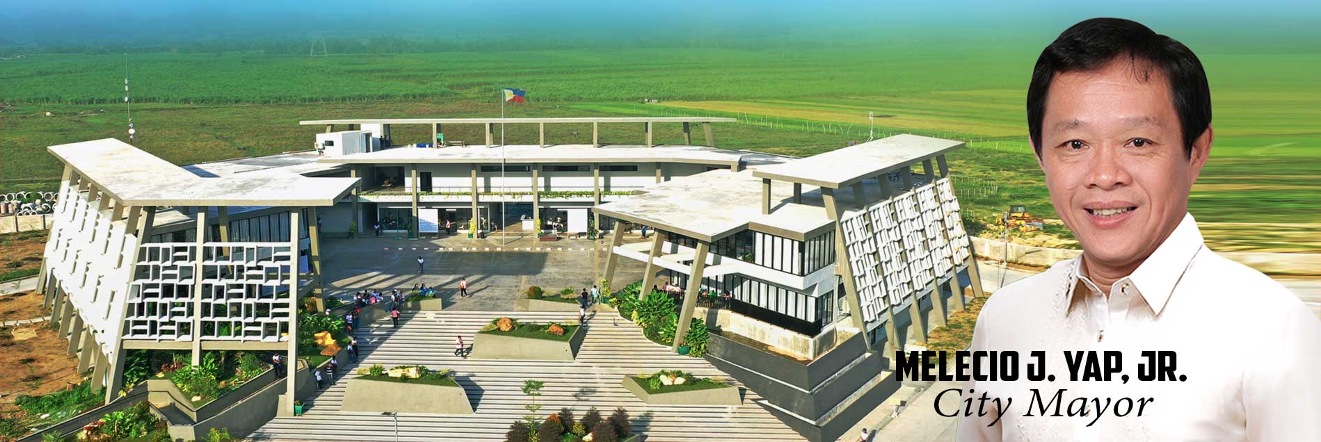
The Sangguniang Panlungsod of Escalante City held its Inaugural Session for the term 2022-2025 witnessed by the Department Heads and sections heads of LGU Escalante, DepEd Officials and the 21 Punong Barangays. Mayor Melecio J. Yap, Jr. delivered his inaugural speech laying down his Executive Development Agenda tagged as “Beboy Yap CARES” or Comprehensive and continue reading : 1st Inaugural Session of Sangguniang Panlungsod of Escalante City term 2022-2025

Oath Taking Ceremony of Honorable Melecio J. Yap, Jr & Escalante City Officials Congratulations on your second term, Mayor Beboy Yap and the City Officials of Escalante City who took their Oath of Office today at Brgy. Alimango, Escalante City.Padayon ang kalambuan sa yutang bulahan!Alegre sa Escalante!